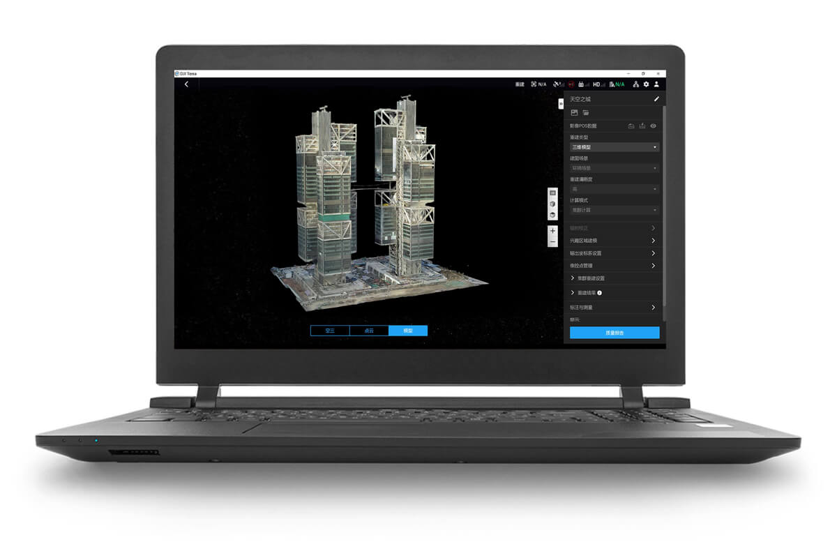
DJI Terra is 3D reconstruction software[1] that has photogrammetry as its core technology. It supports a range of accurate and efficient 2D and 3D reconstruction of visible light, and data processing through DJI LiDAR. DJI Terra is a perfect match for DJI Enterprise drones and payloads. It works in conjunction to build a complete application solution that caters to verticals such as land surveying and mapping, power transmission, emergency services, construction, transportation, and agriculture.
- 2D and 3D visible light reconstruction[2]: You can import raw aerial photos to obtain a high-precision 2D orthophoto map and a real-scene 3D model.
- LiDAR data processing: When working with the DJI Zenmuse LiDAR, DJI Terra can generate high-precision results such as true-color point clouds and point cloud classification with one click.
- Multispectral reconstruction[3]: DJI Terra supports radiometric correction and reflectance map outputs for scientific research of remote sensing. It can also generate vegetation index maps such as NDVI and NDRE.
- Real-time reconstruction[4]: DJI Terra can generate 2D orthophoto maps or 3D models in real time during flights and outputs results as the drone flies.
- Detailed inspection[5]: DJI Terra can automatically generate executable inspection flight routes after target points are added based on a model or point clouds. This way, the inspection process is automated.
- Model application: DJI Terra allows you to easily measure objects’ coordinates, distances, areas, volumes, and other key data and rename and export the data results.
- Authorization modes[6]: Online authorization and offline authorization are supported.


